🌅 The lighthouse
Heritage
The lighthouse
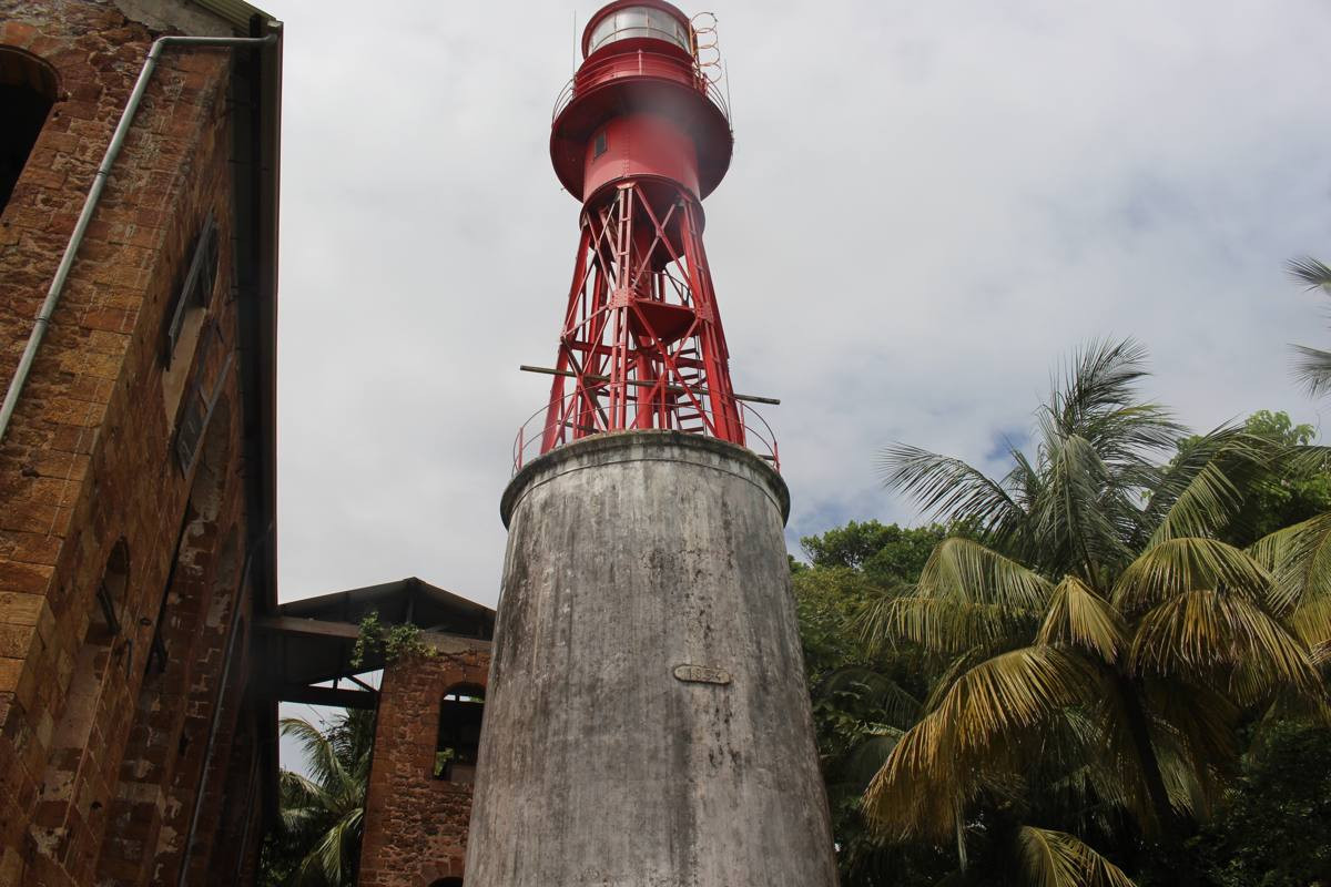
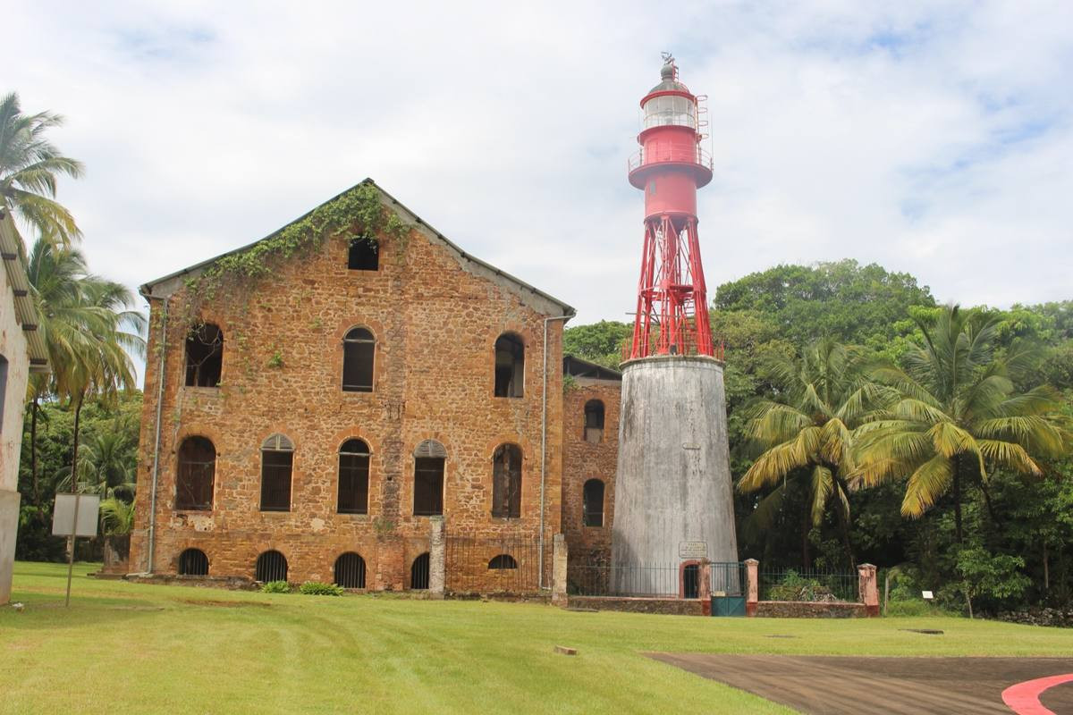
Photo taken in 2018: the place may have changed. Tap the photo to enlarge it.
On a rise in the centre of Île Royale stands the lighthouse. It was built in one of the penal colony's disciplinary quarters. Its base is a round brick tower carrying a metal frame, a gallery and the lantern: the whole structure is about 29 metres tall. At night it guides ships approaching the coast of French Guiana. According to nautical documents, it gives two white flashes every six seconds, visible up to about 25 nautical miles, nearly 46 kilometres.
🎧 Audio version in preparation
👨👩👧 Family challenge
A date is inscribed, barely legible, on the upper part of the brick tower. Can you read it?
See the answer
1914, according to published descriptions of the lighthouse.
📍 Where to see it?
In the centre of Île Royale, on the rise (stop 4 on the map), near the former hospital.
🗺 See on the mapFind out more
CNES owns the three islands, except for small plots kept by the State for the operation of the lighthouse. Nautical references: Admiralty J6894, ARLHS FRG-002.
- Wikipédia, « Phare de l'île Royale » (hauteur, structure, date inscrite).
- Caractéristiques lumineuses : US NGA, List of Lights, Pub. 110 (2024), reprises dans OpenStreetMap.
🛠 Points to validate for this mock-up
- Construction date: 1914 according to the inscription reported on the tower, to be confirmed.
- Identification of the large neighbouring brick building (former hospital?).
- Public access around the lighthouse.
- Light characteristics taken from nautical documents (2024), to be confirmed.